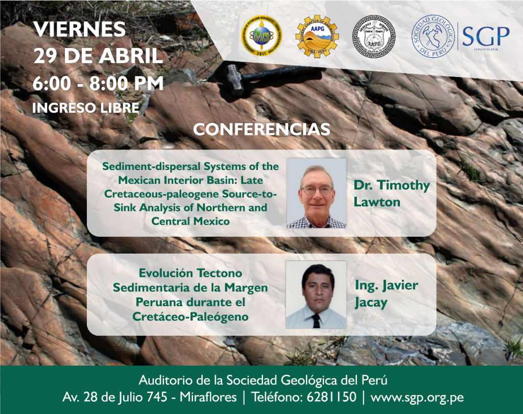
CONFERENCIA: SEDIMENT-DISPERSAL SYSTEMS OF THE MEXICAN INTERIOR BASIN: LATE CRETACEOUS-PALEOGENE SOURCE-TO-SINK ANALYSIS OF NORTHERN AND CENTRAL MEXICO
The Mexican Interior Basin formed in early Late Cretaceous time as a narrow retroarc foreland basin developed on recently rifted continental crust of nuclear Mexico. It differs from the contemporary Cordilleran foreland basin to the north, with which it was coextensive, in having a dominant volcanic-lithic component in all of its sandstones.
The Mexican Interior Basin formed in early Late Cretaceous time as a narrow retroarc foreland basin developed on recently rifted continental crust of nuclear Mexico. It differs from the contemporary Cordilleran foreland basin to the north, with which it was coextensive, in having a dominant volcanic-lithic component in all of its sandstones. Petrographic analysis and detrital zircon data indicate that the dominant sediment source for all strata was the coeval continental margin arc of western Mexico. Temporal differences in zircon content indicate distant sediment sources in basement and derivative sedimentary rocks of southwestern Laurentia early and late in basin evolution, but that during intermediate stages (Coniacian- early Maastrichtian) stages of basin evolution, the Laurentian sources were absent and most pre-arc grains were derived from accreted rocks of western Mexico upon which the arc was built.
The initial basin possessed a narrow foredeep filled by sediment-gravity flow deposits characterized by dominantly axial sediment transport. Carbonate platforms of eastern Mexico supplied calclithites to the foredeep during early stages of basin formation, indicating the importance of pre-foreland paleotopography on sediment fill.
The basin migrated eastward with time, ahead of an advancing orogenic wedge, and in northeastern Mexico, where the loaded continental crust was older, developed a shallow marine and continental succession of latest-Cretaceous-early Eocene age. Basin partitioning by inversion of Jurassic extensional basins in Santonian-Campanian time was probably important in isolating the central Mexico part of the foreland basin from Laurentian sediment sources. Large-scale submarine fans in the western Gulf of Mexico, if present, were likely tied to extensive dispersal systems with headwaters in southwestern Laurentia.
EXPOSITOR: TIMOTHY LAWTON
Born in the state of Washington on the Columbia River, Tim Lawton moved to California during the defense boom of the 1950s and attended public school in Oakland. He earned his A.B. from the University of California, his M.S. from Stanford University, and Ph.D. from the University of Arizona. During summers from 1971-1980, he worked as a professional river guide in the California foothills, Utah, Colorado, Wyoming and the Grand Canyon.
His main research focus has been on the relation of sedimentation to active deformation, particularly in foreland-basin settings. He has employed clastic petrology, stratigraphic correlation, and structural relations in growth strata to infer thrust timing and kinematics in Utah, the Ebro Basin of Spain, and northeastern Mexico. More recently, he has expanded his study of syndeformational sedimentation to Jurassic extension and Laramide inversion in the Bisbee Basin of Arizona, New Mexico and Sonora and to salt-tectonic deformation in northeastern Mexico and the Paradox Basin of Utah. He has also employed detrital zircon U-Pb geochronological analysis to provenance and paleogeographic topics in the US and Mexican Cordillera. His principal teaching assignments have included university classes in introductory geology, field geology, petroleum geology, basin analysis, sandstone petrology, exploration seismology, Cordilleran tectonics, sedimentology, and stratigraphy, as well as field courses in salt tectonics for industry and academic geologists.
CONFERENCIA: EVOLUCIÓN TECTONO SEDIMENTARIA DE LA MARGEN PERUANA DURANTE EL CRETÁCEO-PALEÓGENO
Durante el Cretáceo la margen peruana de Oeste a Este formaba un arco volcánico, una cuenca marginal y una plataforma estable. El desarrollo de la cuenca marginal constituía una plataforma siliciclástica (Grupo Goyllarisquizga) y una plataforma carbonatada (Formación Jumasha), en el arco volcánico activo se dio el desarrollo de las facies volcánicas y volcanosedimentarias del Grupo Casma. Al fin del Turoniano, esta margen evoluciona a cuenca de antepaís (desarrollo de capas rojas) que marca el inicio del desarrollo de la cadena andina.
EXPOSITOR: JAVIER JACAY
Ingeniero Geólogo y Msc. en Ciencias Geológicas con 25 años de experiencia en geociencias aplicadas relacionadas a la educacion universitaria a nivel de pre y posgrado.
Con especialización en estratigrafía, sedimentología, cartografiado geológico y tectónica en los Andes peruanos.
Ha sido Jefe de Brigada durante el levantamiento de la Carta Geológica Nacional en los Cuadrángulos del sector del Marañón y pie del Subandino Norte. Así como se ha encargado del marco geológico para diversas compañías mineras en el sector centro y norte de la cordillera occidental.


